Trails and directions

You can only
get here on foot.

Alpe di Lemna sits at around 900 metres, on a green plateau surrounded by beech woods, in the municipality of Faggeto Lario. There is no road up: you walk — and that is exactly what makes arriving here so good.

01

The classic route · for everyone

From Lemna, via Bicogno

The shortest and simplest one: the route everybody takes the first time.

Leave your car in Piazza San Giorgio in Lemna, or along the road where parking is permitted. The climb starts through Lemna and the hamlet of Bicogno; from there follow the signs for Alpe di Lemna all the way to the agriturismo. The walk takes about one hour.

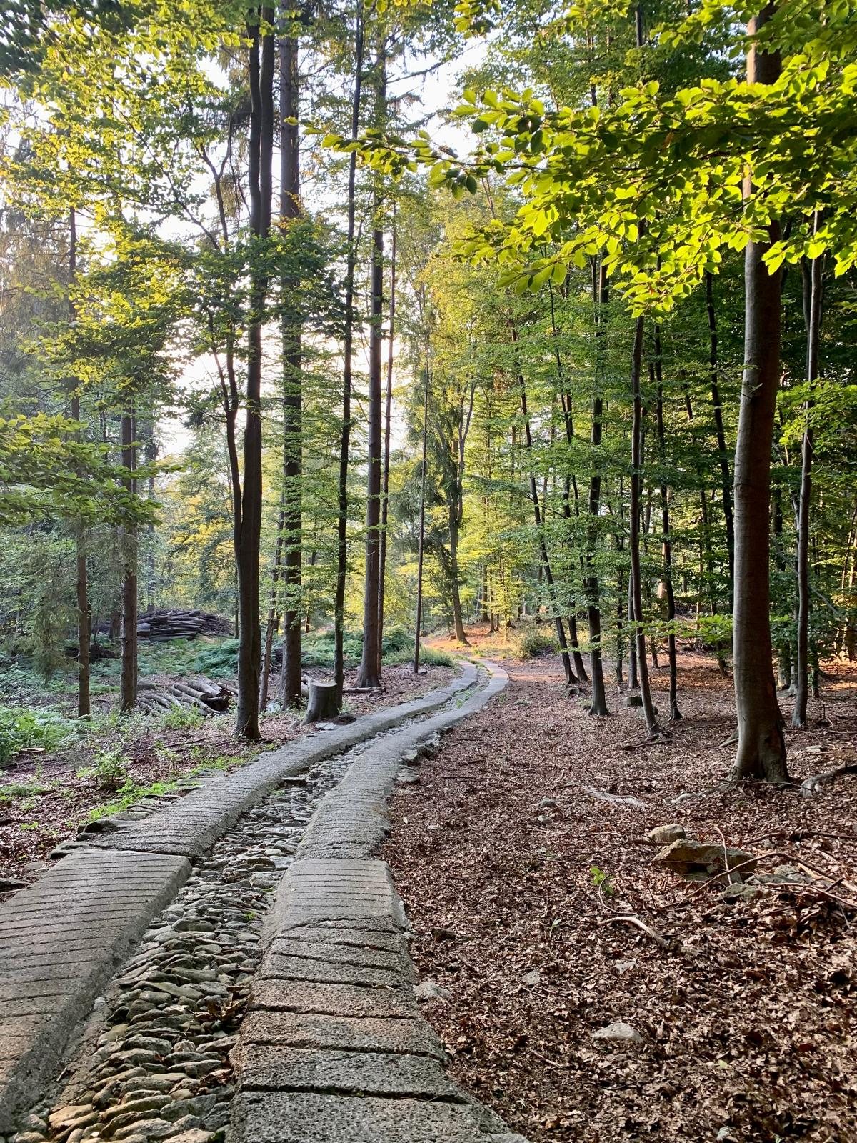
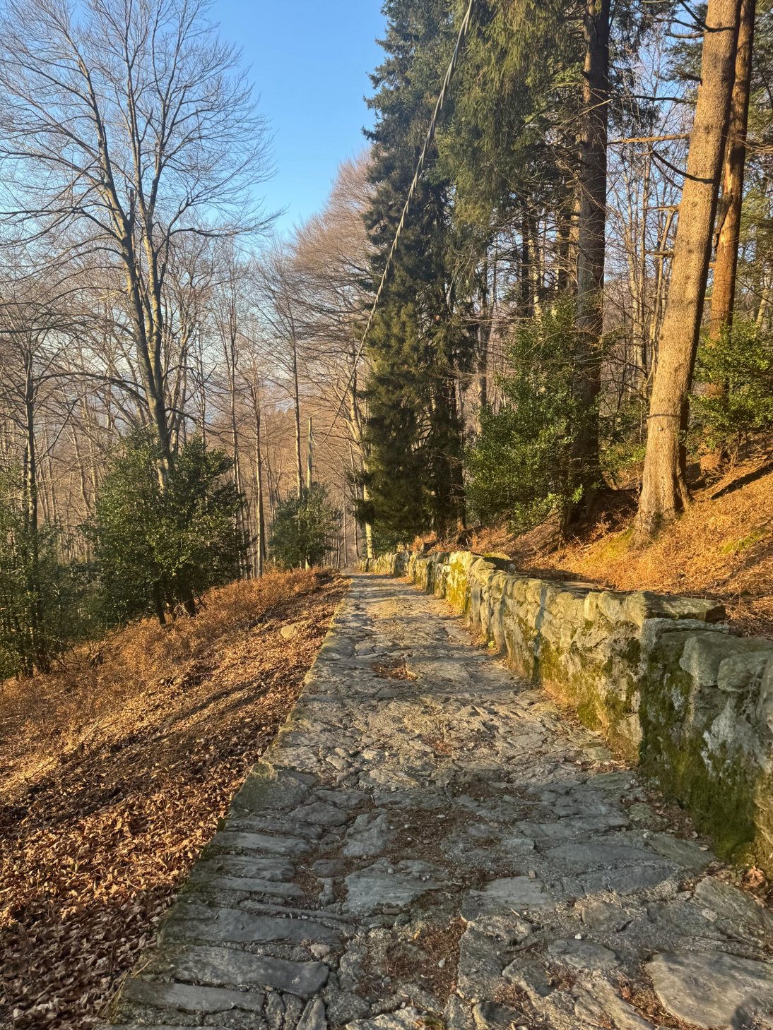
Just before the hamlet you pass the masso avello of Bicogno, an ancient tomb carved into the rock and the only one in the whole Faggeto Lario area. The path then continues through the beech woods until it opens onto the pastures of the Alpe.

In short

About 1 hour uphill, 300 metres of ascent. Fine with children too.

From Lemna, via Bicogno
Indicative line: it shows where the route runs, it does not replace a map and the trail signs.

If the car park is full, you may park along Via Bernardo Silo, only where parking is permitted.

Getting here
Set your navigation system for the car park in Piazza San Giorgio, Lemna, in the municipality of Faggeto Lario.

Parking
Leave your car in the square or along the road, only where parking is permitted.

On foot from here
Follow the signs for Alpe di Lemna via the hamlet of Bicogno. The walk takes about one hour.

By bus
Lemna is served by bus line C131 Como–Torno–Palanzo: get off near the village square.

What to wear
We always recommend proper mountain clothing and shoes with a good sole.

02

From the Brianza side · half a day

From Alpe del Vicerè

A longer route coming up from Albavilla, almost entirely through woodland with some fine openings over the plain.

Start from the Alpe del Vicerè car park and follow the forest road past Rifugio Cacciatori, climbing gently to Capanna Mara, where it is worth stopping a moment for the view over Brianza and the lakes.

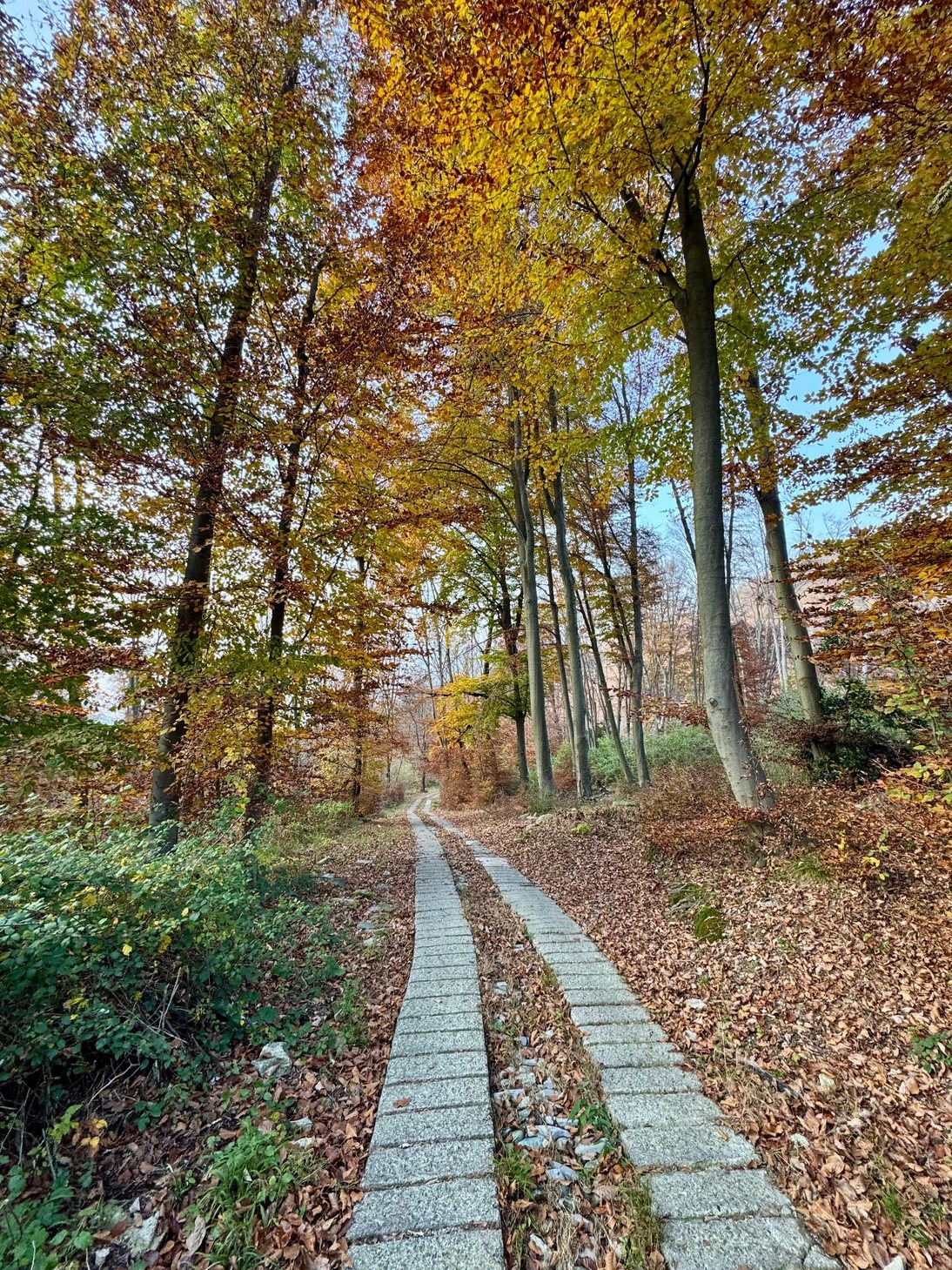
From Capanna Mara the path climbs to Bocchetta di Lemna, where the route meets the Dorsale del Triangolo Lariano. At the pass, turn left onto the Sentiero dei Faggi, which crosses the beech wood on the northern side of Monte Bolettone and leads to Alpe di Lemna.

Once at Bocchetta di Lemna, do not follow the track down to the village of Lemna: the way to the Alpe is the Sentiero dei Faggi.

In short

About 1 hour 30 of walking, with uphill and downhill stretches in both directions.

From Alpe del Vicerè
Indicative line: it shows where the route runs, it does not replace a map and the trail signs.

Getting here
Set your navigation system for “Alpe del Vicerè”, Albavilla (CO). Drive up from the centre of Albavilla on the road to the park.

Parking
Large car park at the entrance to Parco dell’Alpe del Vicerè.

On foot from here
Rifugio Cacciatori → Capanna Mara → Bocchetta di Lemna → Sentiero dei Faggi → Alpe di Lemna. The paths carry the numbered waymarks of the Triangolo Lariano.

What to wear
We always recommend proper mountain clothing and shoes with a good sole. The last stretch runs through the woods and can stay wet for a long time after rain.

03

The longest and most spectacular · a full day

From Brunate, along the ridge

You walk high along the Dorsale del Triangolo Lariano, the lake on one side and the plain on the other. A full day out that you can finish at our table.

From Como, take the funicular up to Brunate. Follow the signs for San Maurizio and the Faro Voltiano, then the Sentiero delle Baite, which passes Capanna CAO, Baita Carla and Baita Bondella on the way to Monte Boletto.

Descend to Bocchetta di Molina and carry on: to the right the ridge route climbs to the summit of Monte Bolettone, to the left the quieter Sentiero dei Faggi skirts the northern slope. Take the Sentiero dei Faggi: there is no need to go all the way to Bocchetta di Lemna, as the Alpe is reached by turning off earlier, following the signs along the path.

For the way back, you can walk down to Lemna and take the C131 bus to Como.

In short

About 3 hours 30 from Brunate. A long walk, but with no technical difficulty, on waymarked paths and mule tracks throughout.

From Brunate, along the ridge
Indicative line: it shows where the route runs, it does not replace a map and the trail signs.

Getting here
From Como by funicular to Brunate, or by car up to Brunate/San Maurizio.

Parking
Parking in Brunate is limited: we recommend the funicular from Como. If you drive up, there are a few spaces near Capanna CAO.

On foot from here
Faro Voltiano → Capanna CAO → Monte Boletto → Bocchetta di Molina → Sentiero dei Faggi → Alpe di Lemna, following the Dorsale del Triangolo Lariano waymarks.

What to wear
A long route: start early, carry enough water and wear proper walking boots. The Sentiero dei Faggi faces north and after winter snowfall it can stay slippery well into spring.

WhatsApp